How hard is it to climb Damavand?
HOW HARD IS TO CLIMB DAMAVAND ?

If you think about climbing Damavand one of the most important facts you need to know is Damavand difficulty .
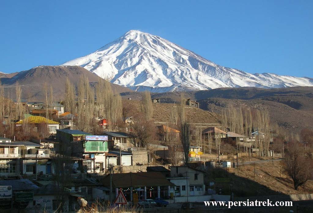
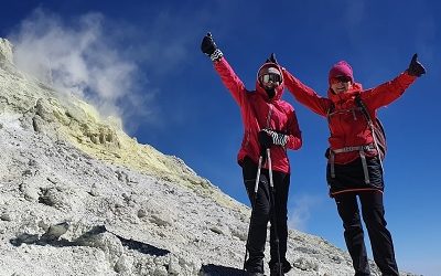
Mount Damavand is a fair difficult mountain to climb. Due to the fact that more than 50% of climbers who try to climb this peak suffer a level of mountain sickness, Damavand is a tough high-altitude trek.
Considering the height of this mountain of 5610 meters, you should prepare and train well before attempting to climb Damavand Peak. Climbing Damavand peak is not difficult in the main part of climbing route because the paths are not steep and the main problem is the height, however the summit day is difficult because this part is the coldest and windiest part of your climb.
Climbing and descending about 1400 meters in one day at an altitude above 4200 meters, which may take about 10 to 12 hours, requires relatively high mental and physical preparation.
A common question about Damavand is how difficult it is to climb this peak? The answer to this question is not easy because it depends on many factors and is very personal.
After all, what is “hard” for one person may be “easy” for another.
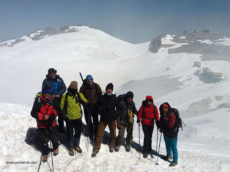
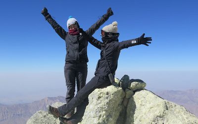
Many climbers have said, “Climbing Damavand is the hardest thing I’ve ever done, especially on summit day.
We have never heard that it’s an easy climb , but it always depends on what you’re comparing it to.
Compared to K2, Damavand is “easy” but It is “tough” compared to walking in street .
Let’s examine some specific factors that affect the difficulty of climbing Damavand and also what can be done about it.
Climbing Damavand Technical Difficulty
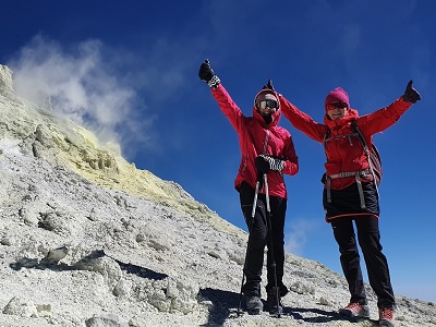
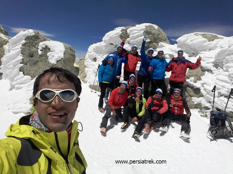
One of the first questions that amateur mountaineers want to know , is whether there is any technical difficulty involved during climbing Damavand . the answer is : “No”. climbing Damavand in summer and from normal routes like Southern or western routes is only an easy trekking that can be done without an ice ax, ropes, or harnesses and crampons then You don’t need any technical mountaineering skills at all.
How to deal with the height problem on Damavand / Damavand difficulty
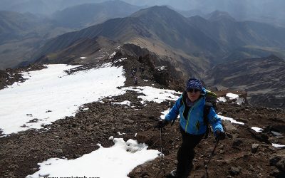
The hardest part of climbing Damavand is trekking on high altitude . Your ability to acclimatize and getting used to the low oxygen in the air during your trek on long distances is what makes Damavand different from your normal long day’s hiking. Mount Damavand Altitude training is one of the preparations that you can do to maximize your chances of adaptation to the altitude.
By climbing slowly you will give your body more time to acclimatize , and give time for adequate rest and recovery, as you shouldn’t be in a hurry to climb the mountain .
Always walk as slowly as you can. If that sounds a bit counter-intuitive, you’ll find your guide often repeating “Aroom Aroom” which means “slowly slowly” in Persian . By keeping a very slow pace, you’ll conserve your energy, you won’t exhaust yourself, and you’ll give yourself the best chance of adequate acclimatization! It’s not a race, folks…
Taking Diamox also can help for acclimatization but You’ll need a prescription from your doctor for it . Damavand difficulty
Your Fitness
Should be mentioned that if you’re very unfit and physically unprepared , the trek will be much harder. How fit you need to be is often a source of great confusion. You don’t need to be an marathon runner, but you need to be fit enough to walk multiple hours uphill with a light backpack . And then be ready to do it again the next day.
Your fitness will affect how you will be recovered from each day’s hiking.
Lack of training and not trying to improve your fitness will make your climb more difficult, but at the same time, you should have reasonable expectations of yourself and not exhaust your body with too much pressure and heavy training before climbing.
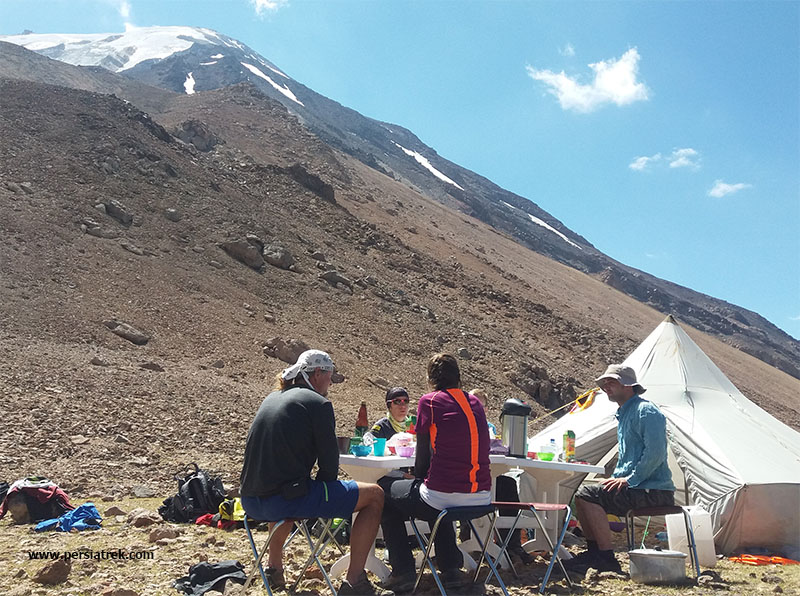
Camping & Sleeping on the Trail Difficulty

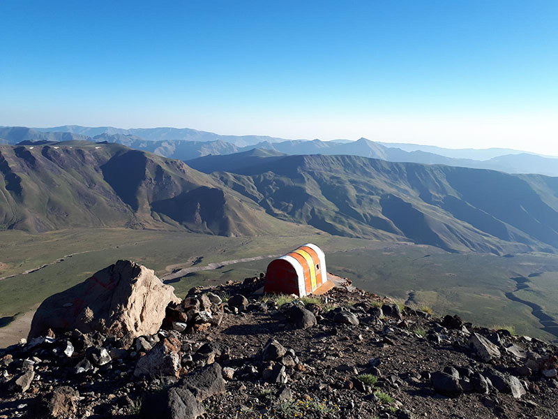
Mount Damavand Hut , located in south face of Damavand at 4260m elevation
If you’re used to only sleep in your own comfortable bed , then it possible camping and sleeping on Damavand be a bit hard – at least at first. although we provide you comfortable tent and sleeping mats and extra blanket , if you’re not used to sleeping in a tent, it may take some getting used to.
For those who spend their weekends outside and sleep on the ground , our camp will be almost luxurious , as you don’t have to prepare your own food or pitch your own tent!
having a good night’s sleep is important for your recovery and adapting with high altitude . If you think you might find this aspect of climbing Damavand hard and prefer not to sleep in tent then we suggest you Damavand southern route, where you can chose to sleep in huts or bigger and more comfortable tent
Weather condition
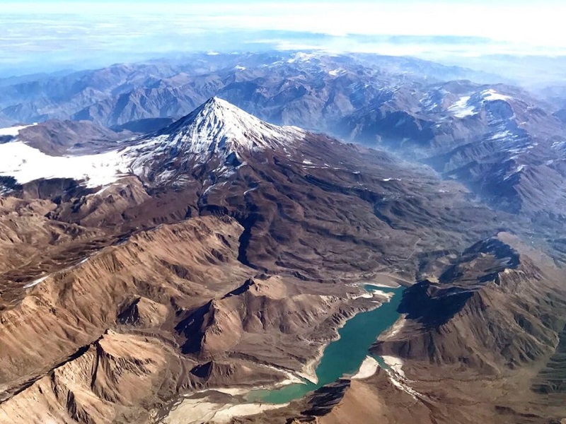
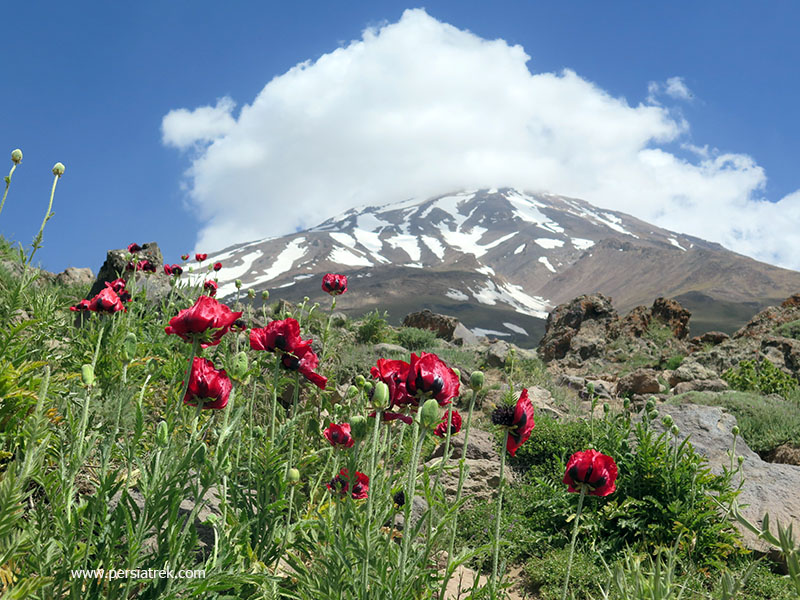
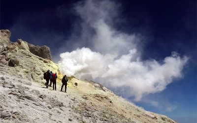
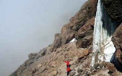
Another thing that can make climbing Damavand difficult is unfavorable weather conditions. Since Mt Damavand is about 1500 meters higher than the highest mountains around it in consequently this feature has caused the weather to have sudden changes and strong winds.
In the summer season, there are not a lot of snow and rain fall in Damavand, but the biggest challenge of Mount Damavand, as mentioned above, is strong winds, especially at night.
You can read more on Mount Damavand weather
Your Health
Damavand climbing guide
?


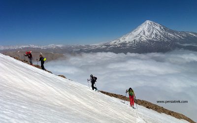
Iran ski tours
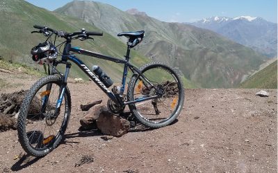
Discover the Beauty of an Iran cycling tours
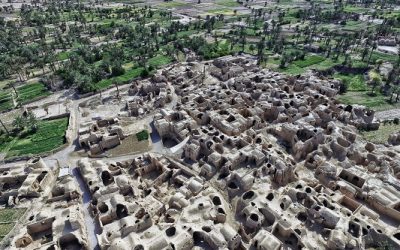
about Esfahak village
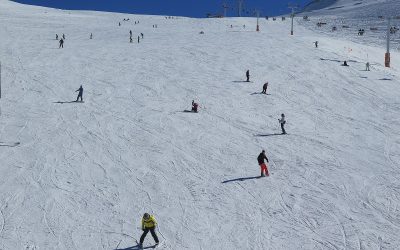
Everything you need to know about skiing in Iran
Damavand packing list
Train for climbing mount Damavand
How hard is it to climb Damavand?
volcanic seven summits challenge
mount Damavand facts
6 best routes to climb damavand
Iran ski resort