
Nandal village
Introduction

view of Nandal village from mount Damavand
Nandal village is a beautiful village with an altitude of 2,300 meters above sea level and is one of the Larijan villages of Amol county in Mazandaran province. Nandal summer village is located on Haraz road.
The access road to Nandel village separates from Haraz road 50 km before Amol. The approximate distance of Nandal village from Haraz road is about 15 km. Due to its proximity to Mount Damavand, Nandal is one of the good and main routes to climb Damavand peak , and mountaineers come to Nandal village from its northeast or northern face to climb Damavand.
Northeast of Damavand has a very beautiful nature. It has rich water resources and dense vegetation. In addition, it is less accessible than other parts of Damavand Mountain. Therefore, rare animals live in these areas, which include Nandal Amal, to shelter from predators. Together, all these wonders have turned the northeastern ridge of Damavand into a pristine and alive land.
Nandal village is a starting point for climbing mount Damavand

Nandal village is the starting point for climbers who want to climb Damavand peak from the north or northeast side. To climb the Damavand peak through the northeast face, you must first reach Nandal. In fact, it is one of the best and most beautiful routes for mountaineers.
Amenities of the Nandal village for mountaineers
At the beginning of Nandal village, there is a two-story house that shelters mountaineers. The capacity of this house is up to 20 people. A gentleman by the name of Salehi is in charge of you in Nandal Mountaineering House for the purpose of coordination. If you are traveling in a group, you can book another house in the village for your team through them. The mountain house has an old cherry tree in its yard and they let you pick. Mountaineers who do not have a tight and urgent schedule spend a day in this area before climbing to the peak to gain more physical and physical fitness to be in the village of Nandal at an altitude of 2,700 meters. In addition, it is recommended to visit the farms and the beauty around Nandal.
Nandal waterfall
Nandal waterfall is in the lower part of the metal bridge and falls down from a high rock. To access Nandal waterfall, you have to take the same path leading to Nandal village. On Haraz road, go between tunnels number 7 and 8. Between these tunnels, a path on the west side of the road leads to the villages of Hajidella, Miandeh, Rezen, Kerf and finally to Nandal. So, on your trip to Nandal, be sure to visit the cool Nandal waterfall.

Nandal weather
Nandal water is very clean and according to experts, it washes the body from the salts deposited in the kidney. All kinds of medicinal and useful vegetables and plants are also found in Nandal. The weather in Nandal village is cold and mountainous. Due to the foothills of the region, pleasant spring rains occur in it. This pleasant climate as well as the view of Damavand peak with its white glaciers attracts a large number of tourists and nature lovers to this area. Clouds and fog cover around this village many times all year round.
National Register of Nandal Village
Iran’s natural heritage includes natural geographical areas and special areas of the country, which are determined and protected due to their special physical and biological quality, unique geographical landscapes, valuable natural-historical areas, phenomena and examples of plants, animals and their habitats. Nandal Amel, with the address of Amel city, Larijan section, Upper Larijan section, the peak overlooking the city of Rineh and the villages of Esk, Gaznak, Pulor and Nandal, was registered as a cultural heritage in 2007
Lehr summerhouse is one of the attractions around Nandal
This village is in Lower Larijaan village and according to the last census of Iran Statistics Center which was conducted in 2005, its population was 37 people (12 households) and it has a very good climate and its population reaches 400 people in summer. Among its beautiful and spectacular views, we can mention the outdoor pool for watering the gardens and Imamzadeh of Abbas and Ali (AS), Gardkala, Nal Pi, Spion, Kamron, Dast Brun, Loser, the beautiful forest of Sarkh Tali, the Gully Gorge and the Zaraviz area. The altitude of Lehar village is 2450 meters above the Azad sea level and it is located in the vicinity of Fes and Nandal village, it is about 60 km away from Amel city, of which 52 km is asphalt and 8 km is dirt road.
Tours and tourism groups plan a program consisting of the Lehr cottage to the Nandal cottage. In this way, they start their journey from Haraz road. They go to Lehar, which is the highest village in the region. There, they will have a meal and walk in the pastures and forest to reach the Cameron Pass. After a few hours of rest in the stunning nature of Cameroon, they will continue to the Nandal villa. One of the attractive activities of this program is sitting around the fire in Nandal’s cool summer cottage.
Access to the Nandal village
Drive to Amol and continue your journey on the Haraz road. After passing through Polur, Gaznak, Vana Tunnel, Baijan and Kalantari, on the left side you will see a road that leads to Nandal village. After Baijan Police Station and passing through Tunnel 8, you will see a sign on the left that will lead you to Nandal Mountaineering House. Follow that road until you reach the beautiful village of Nandal
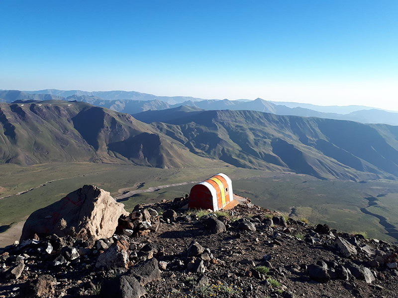
Damavand peak routes
Introduction Damavand peak is the name of a mountain in north of Iran plateau , Damavand is also the highest peak of Elburz(Alborz) mountain range. Mount Damavand is a potentially active volcano and the highest peak in Iran also the highest volcano in Asia (about...

Damavand tour price
Damavand Tour Price: Affordable Adventure on Iran's Highest Peak Are you dreaming of climbing Damavand Peak, the tallest mountain in Iran and the highest volcano in Asia? Located in the north of the Iranian plateau, Damavand rises to a towering height of 5,609...
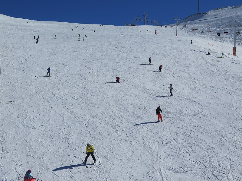
Getting to know Iran ski resorts
Getting to know Iran ski resorts Iran ski resorts : Skiing is one of the most attractive winter sports. The good feeling of freedom on the snow cannot be described easily. In this article, we introduce 21 Iran's ski slopes. Knowing these tracks will give you more...
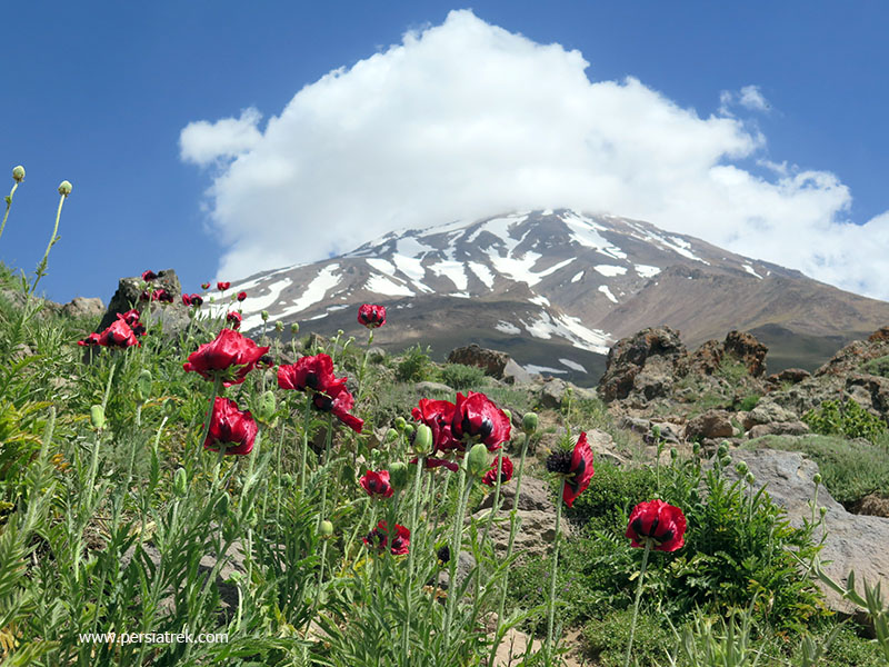
Damavand mountain weather
Damavand mountain weather forecast / Damavand Iran weather Introduction Damavand mountain weather : Mt Damavand with a height of 5610 meters is the highest peak in Iran also because of this feature it is one of the most popular mountains in Iran for climbing. Since Mt...
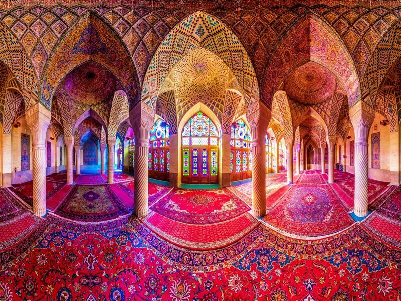
Top 10 Most Beautiful Mosques in Iran
Discover the Stunning Mosques of Iran: Top 10 Must-Visit Gems Iran’s mosques captivate visitors with their unparalleled beauty, rich history, and exquisite artistry. Whether you are a Muslim, a lover of religious architecture, or simply an enthusiast for breathtaking...

Lar national park
Lar National Park; Amazing plain near Damavand mountain Lar National Park and its beautiful anemones is in Mazandaran province in the north of the Iranian plateau . This plain is a national park since 1975 and a protected area since 1982. Also Lar National Park...

6 Tips for Damavand Mount acclimatization
6 Tips for Damavand Mount acclimatization Introduction Researches about Damavand mount acclimatization problems show that : 70% of the mountaineers who spent one night in Damavand hut (4250m) have suffered some kind of height problem. Most people experience...

Alamut valley
Alamut Valley Travel Guide History Alamut refers to an isolated valley lying between Siah lan on the north, and Alborz, and Qazvin mountains on the south. Etymologically, the name Alamut means "trained eagle" or, as some sources say, the eagle’s nest. Actually, there...
Lut desert
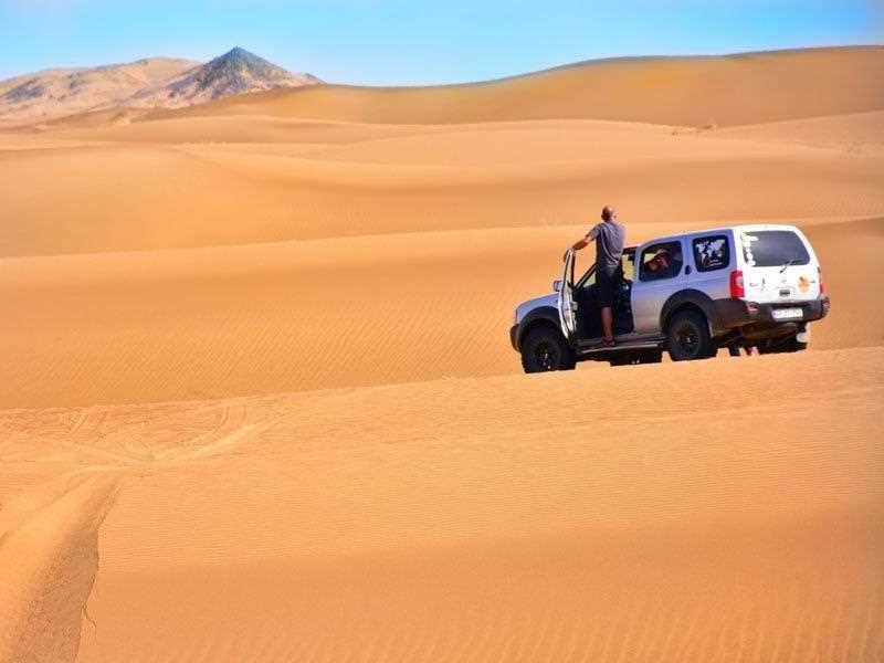
Lut desert Introduction Lut is a vast desert that covers about 10% of Iran. Lut Desert is one of the hot and dry regions of the world with an area of 120,000 square kilometers. This region is full of unknowns. This scorching and mysterious area has been so...

Twelve hiking trails in Iran that must be visited
Twelve hiking trails in Iran that must be visited Lake Neor One of the most beautiful hiking trails in Iran and a kind of lost paradise, is located between Guilan province and Ardabil province . This region is not really comparable to any other place in Iran in terms...